What the showcase demonstrates

The showcase follows an investigation in New York involving a stolen vehicle, witness sightings, automatic license plate recognition (ALPR) records, robberies and recovered evidence. Mapped markers show where the vehicle was seen, where incidents took place and where key items, such as a weapon, were later found.
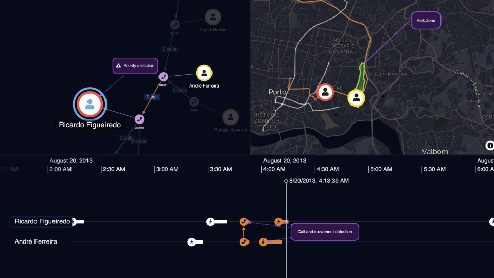
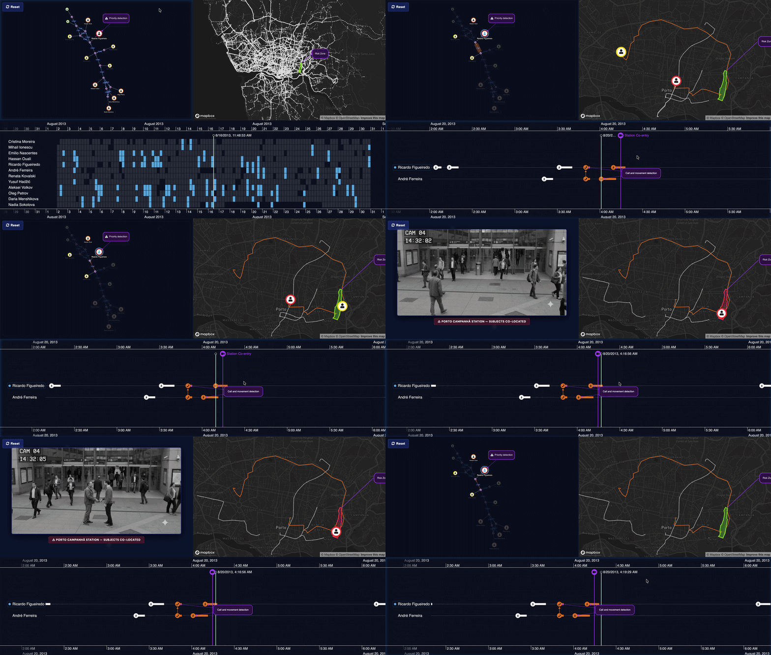
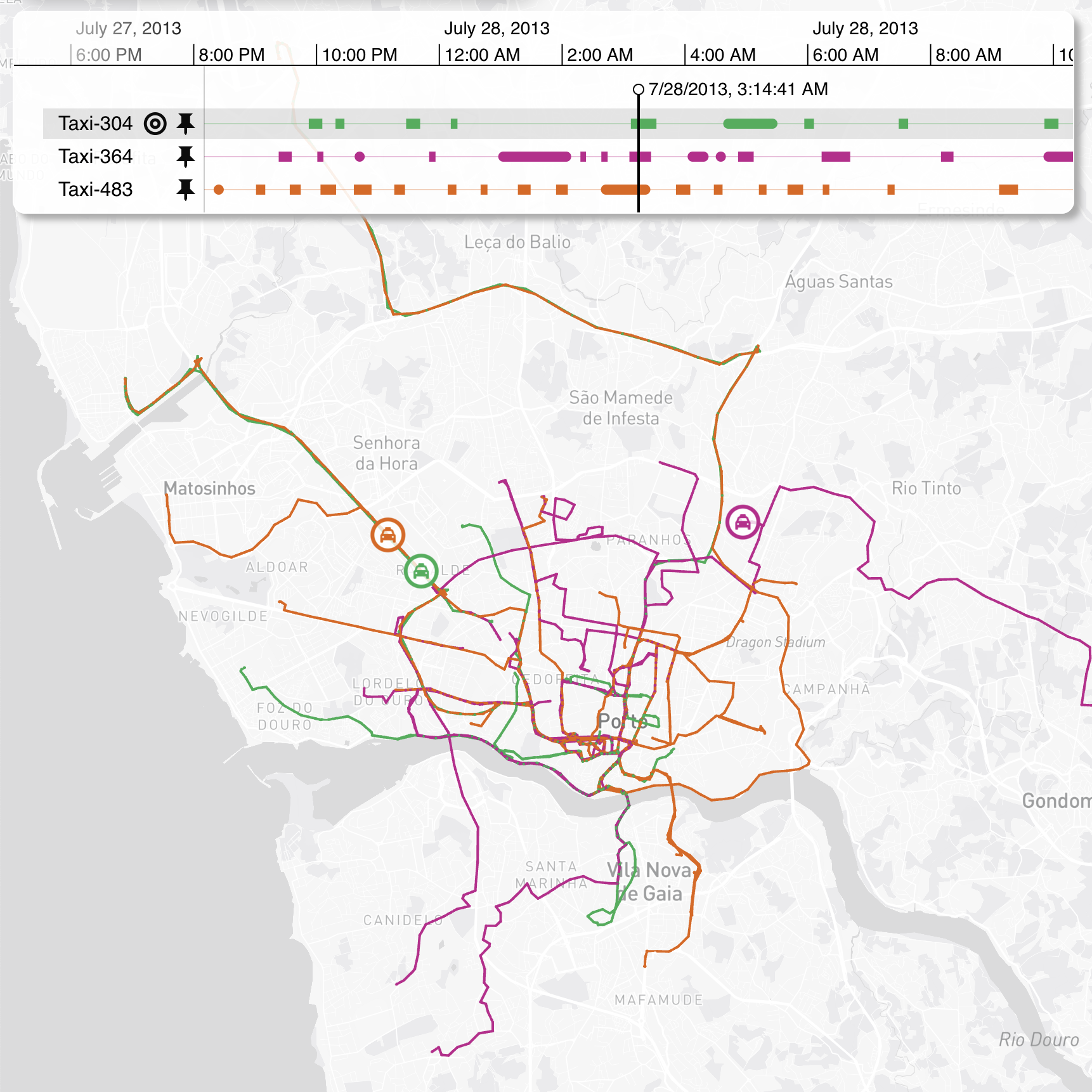
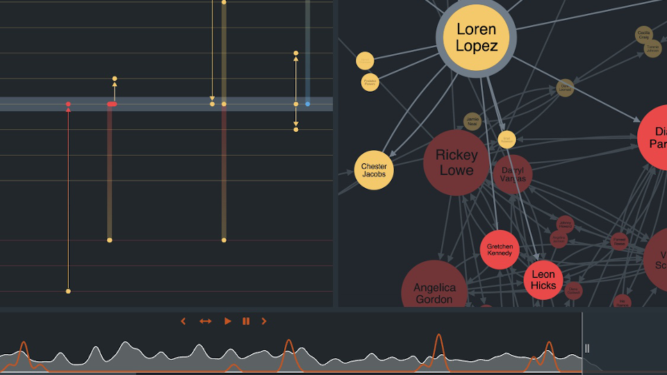
The timeline provides the order of events, which is especially important for time-based evidence. Phone calls, for example, may not have a reliable location, but they can still reveal what happened around a robbery or after evidence was discovered.
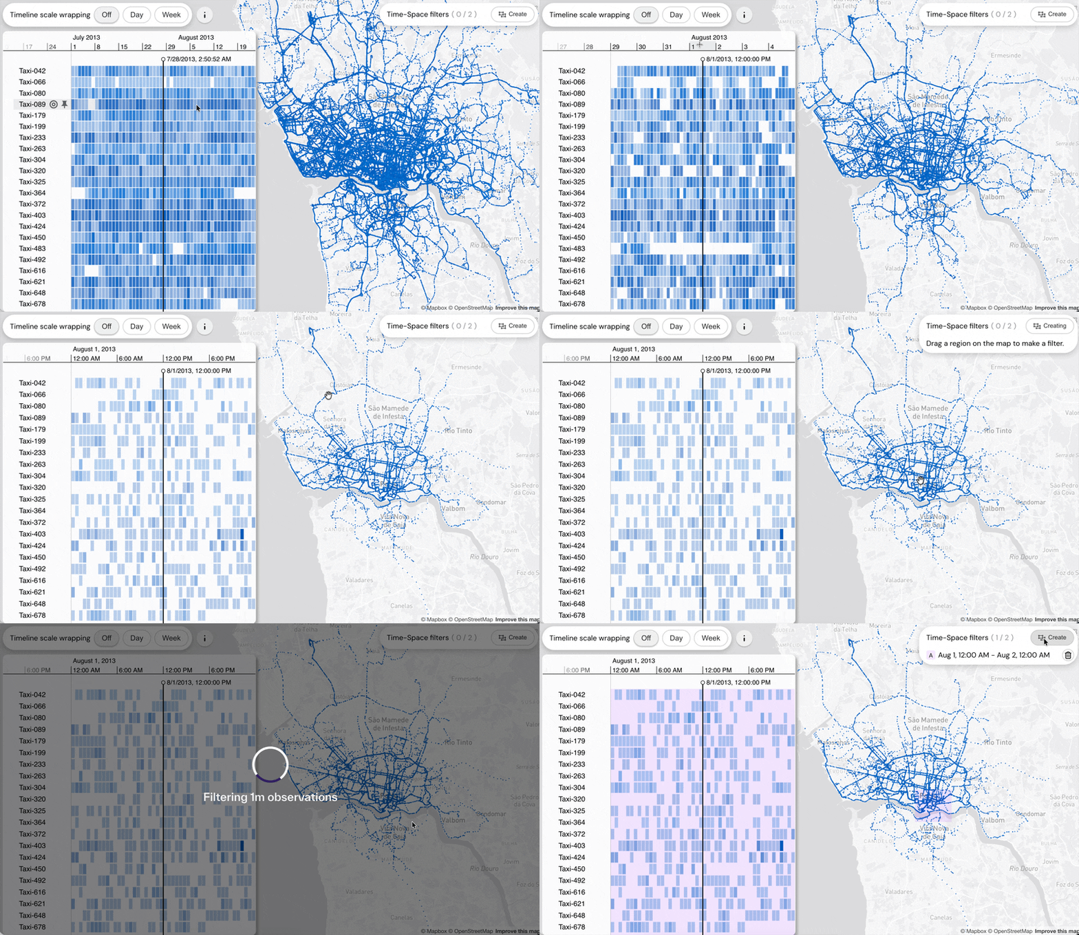
Users can switch data sources on and off, change the map style and zoom into a narrower time period. As the timeline changes, the map updates to show the relevant locations for that time window. In this example, the workflow helps investigators identify the phone number called by the suspect after the 7-Eleven robbery, to then compare those calls with the point at which the vehicle was found abandoned.
What you can evaluate
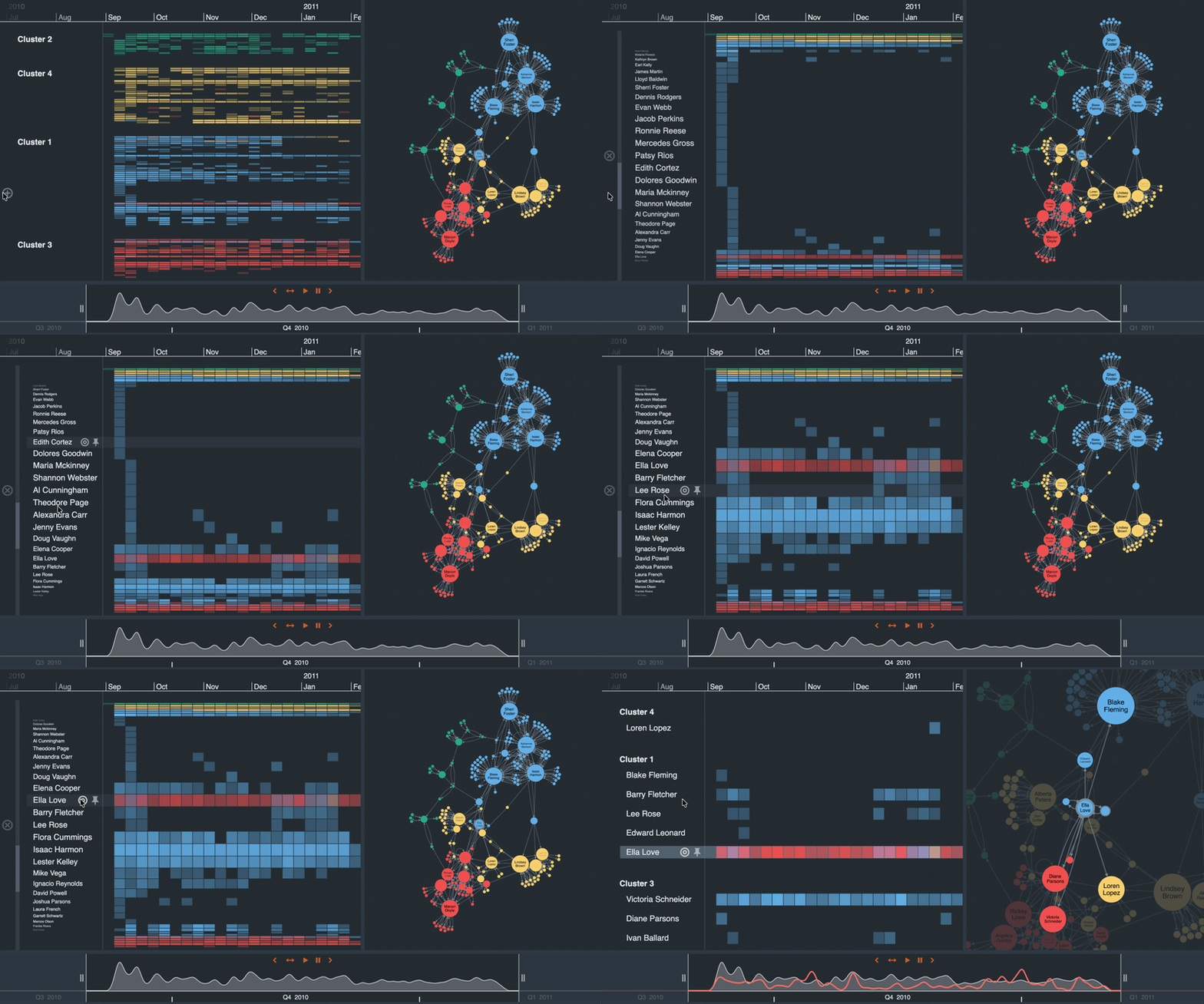
For product and engineering teams, this showcase demonstrates how the SDKs can support law enforcement workflows that combine geospatial evidence with chronological analysis. It shows coordinated map and timeline views, source filtering, and temporal zooming.
The workflow supports a core law enforcement task: turn witness sightings, incidents and call records into a cohesive sequence that investigators can follow.